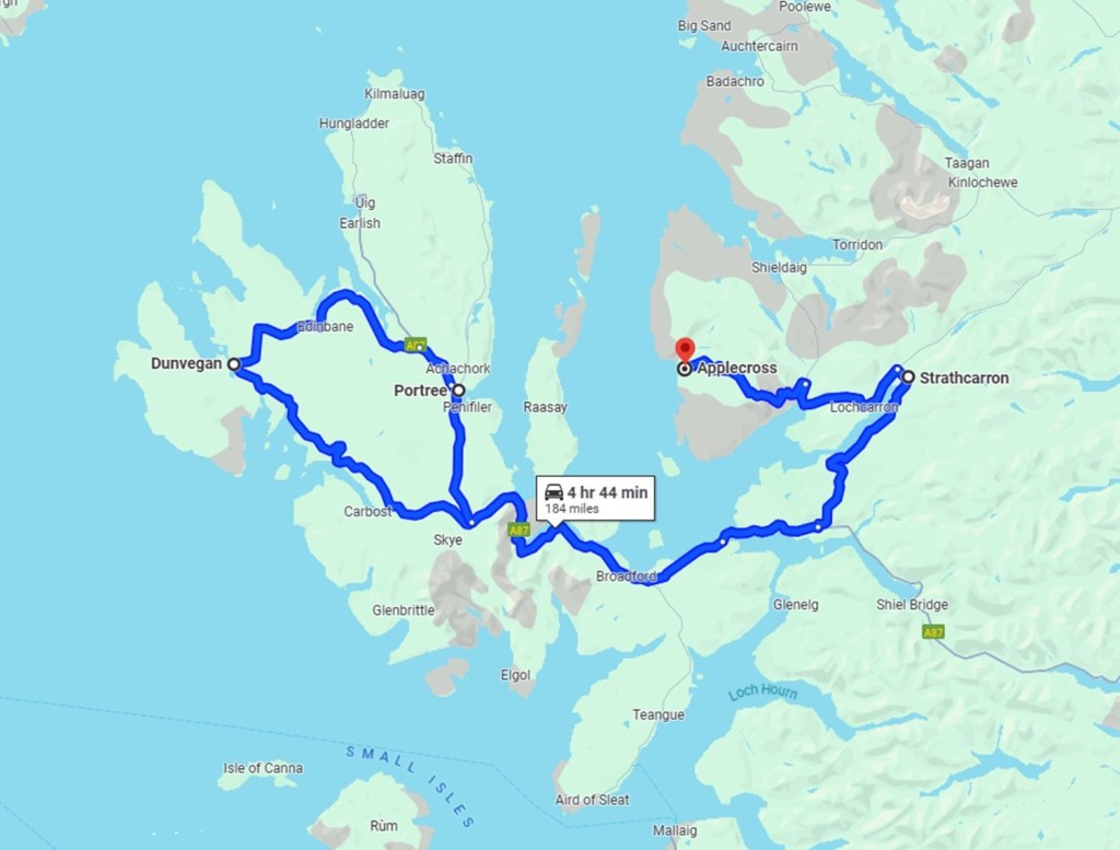
Isle of Skye – 18 May 2024 (300kms)
Bfast at the Inn & heading for a day trip to the Isle of Skye. Expectations high.
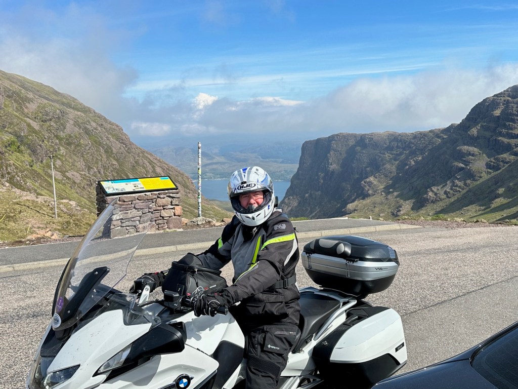
Tour Leader Tony, in Corporate mode, has been providing a daily briefing. Whilst understanding the need for some professionalism, the Foxes have largely disregarded what he has to say. Over the course of the last few days, the briefings have gone from a presentation lasting 15 minutes to a txt advising time of ‘wheels up’. This is a win/win for all of us.
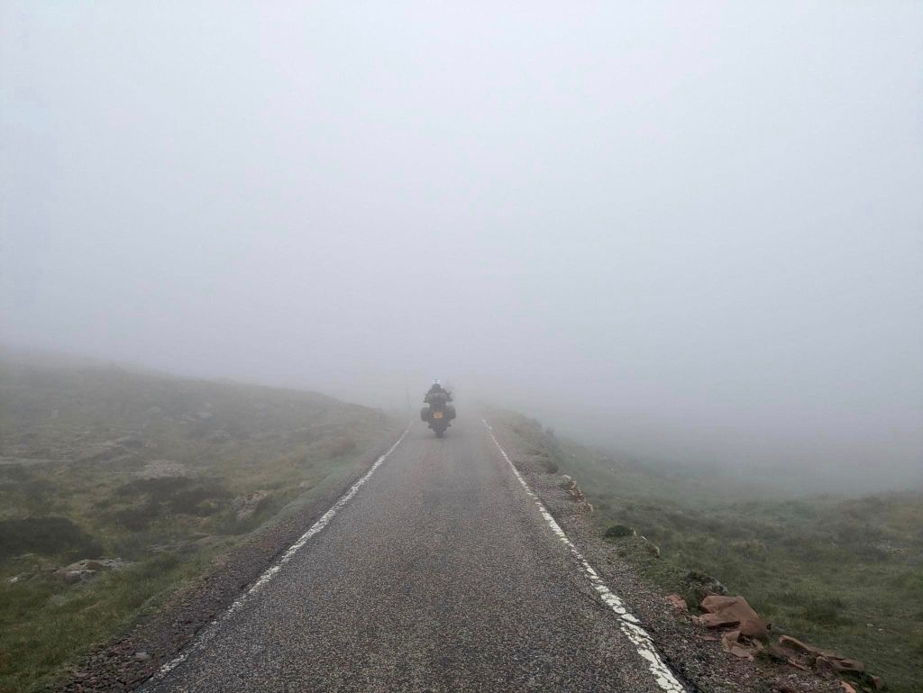
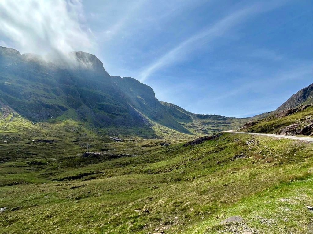
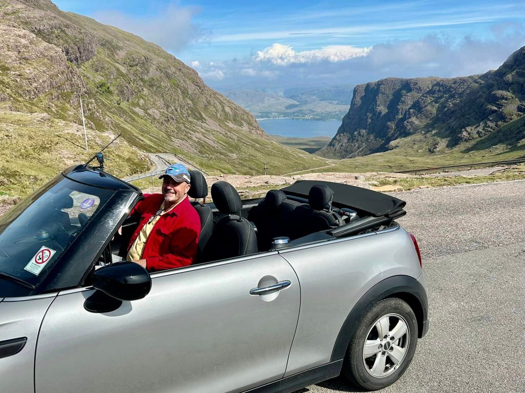
Out of Applecross & up into the hills & the famous Bealach na Ba Pass. Within 5 minutes we are blanketed with mist. A single lane track winding through the hills, we crawl in 1st gear. Visibility about 50 feet!! Tony is out front & contemplating a change of trousers. It is cold. We pass two cyclists walking their bikes up. Strewth, when will it end.
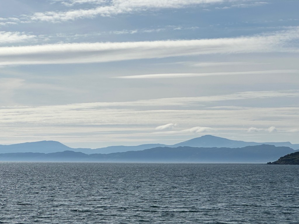
Well it does. We head down & the air clears. We see an offshore oil rig. Off to Skye.
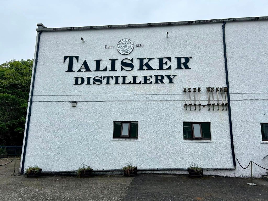
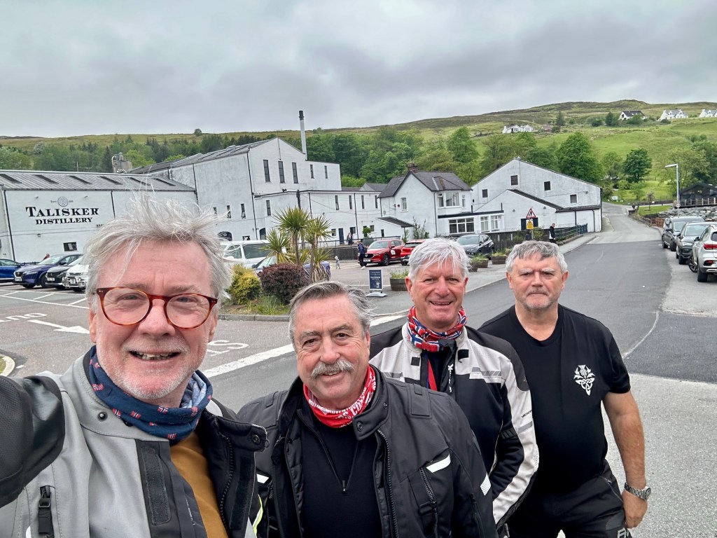
We cross the Skye Bridge. First stop is the Talisker Distillery. Hydro is ecstatic. His favourite drop. We look around the showroom. Ok, done.
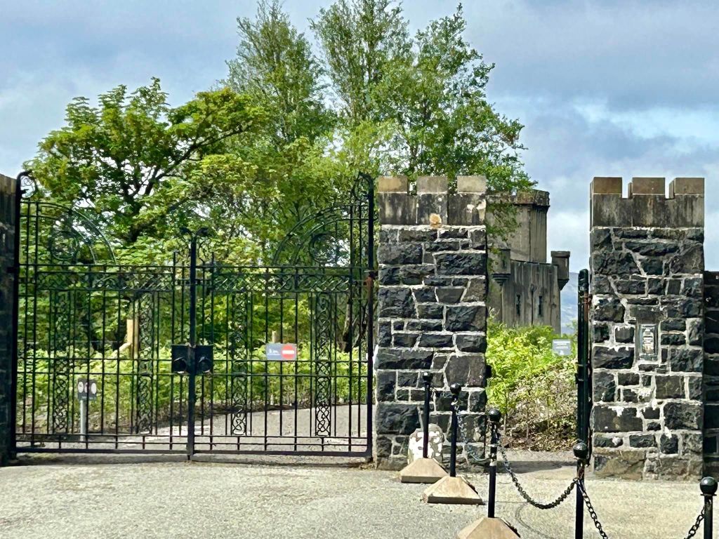
Off again, to Dunvegan Castle. The cars are thinning out & we enjoy a rollicking ride through the hills. Stop for lunch at Dunvegan.
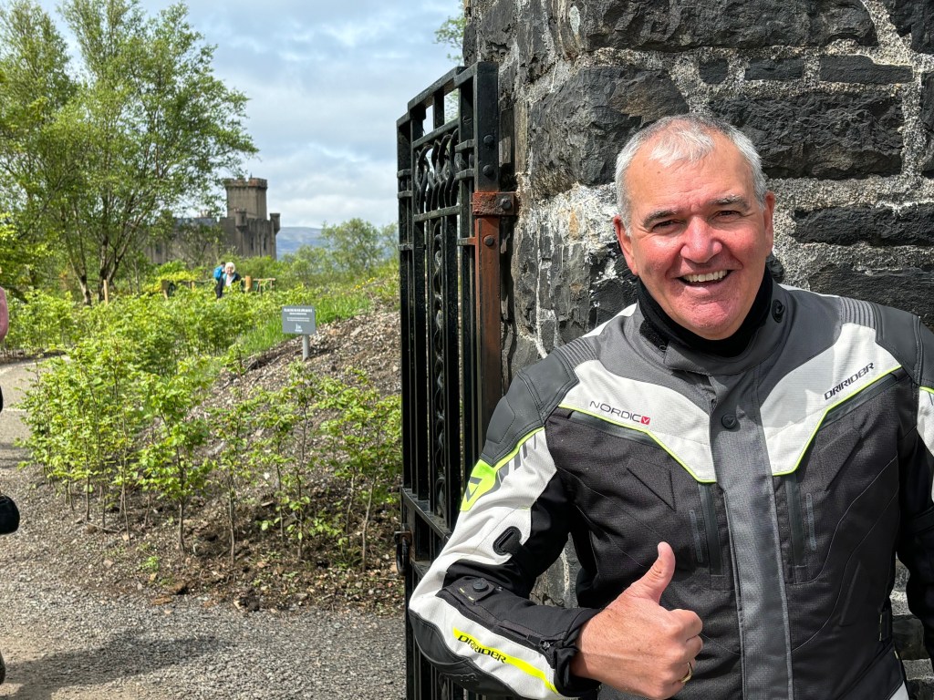
Next, the Castle. Tony is on a mission. His wife’s family (the MacLeods) hale from the area.
Dunvegan Castle (Caisteal Dhùn Bheagain) is located 1 mile (1.6 km) to the north of Dunveganon the Isle of Skye, off the west coast of Scotland. It is the seat of the MacLeod of MacLeod, chief of the Clan MacLeod. Probably a fortified site from the earliest times, the castle was first built in the 13th century and developed piecemeal over the centuries. In the 19th century the whole castle was remodelled in a mock-medieval style. The castle is built on an elevated rock overlooking an inlet on the eastern shore of Loch Dunvegan, a sea loch.
Dunvegan Castle
Scottish Gaelic: Caisteal Dhùin Bheagain
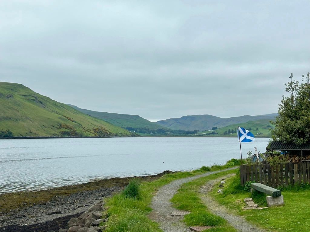
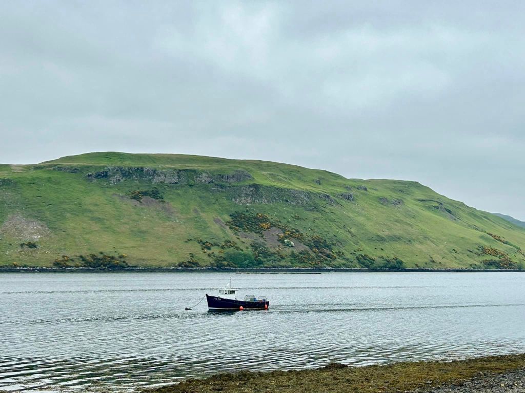
Next stop Portree. Its a quiet road & we make good time to Portree. But the town is congested., a tourist trap & its only May! We do a u turn & head out. One more stop for “The Last Farewell” photos of Skye & head back to Applecross. I think we agreed that the island was underwhelming.
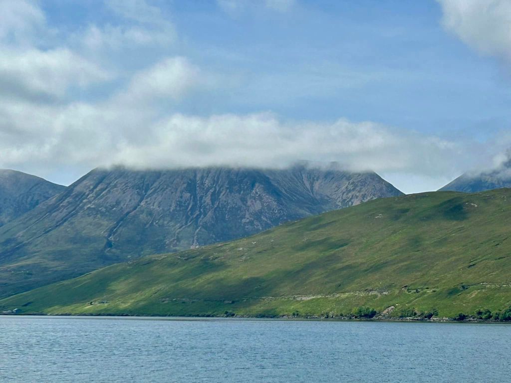
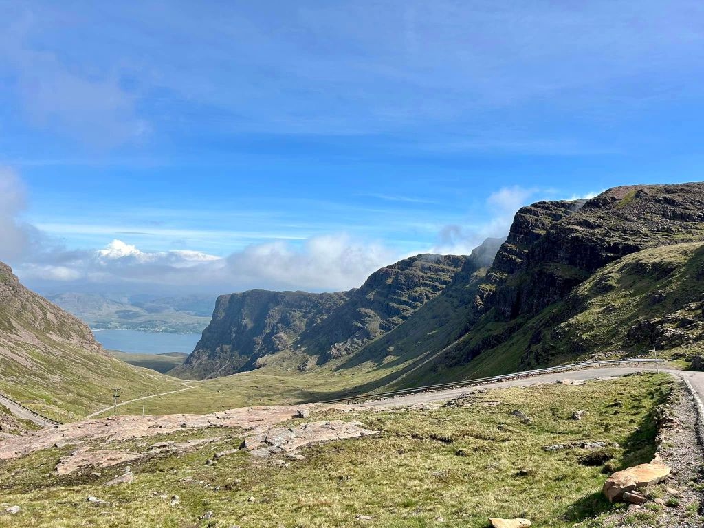
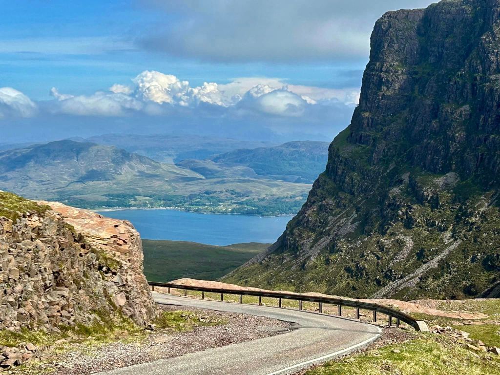
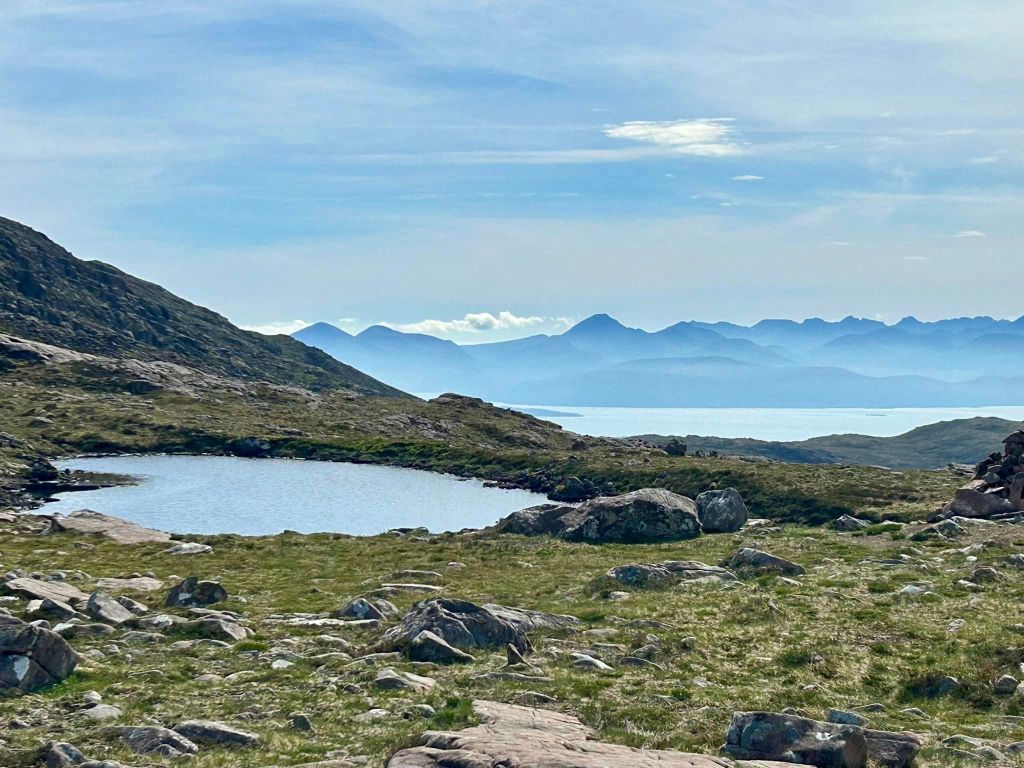
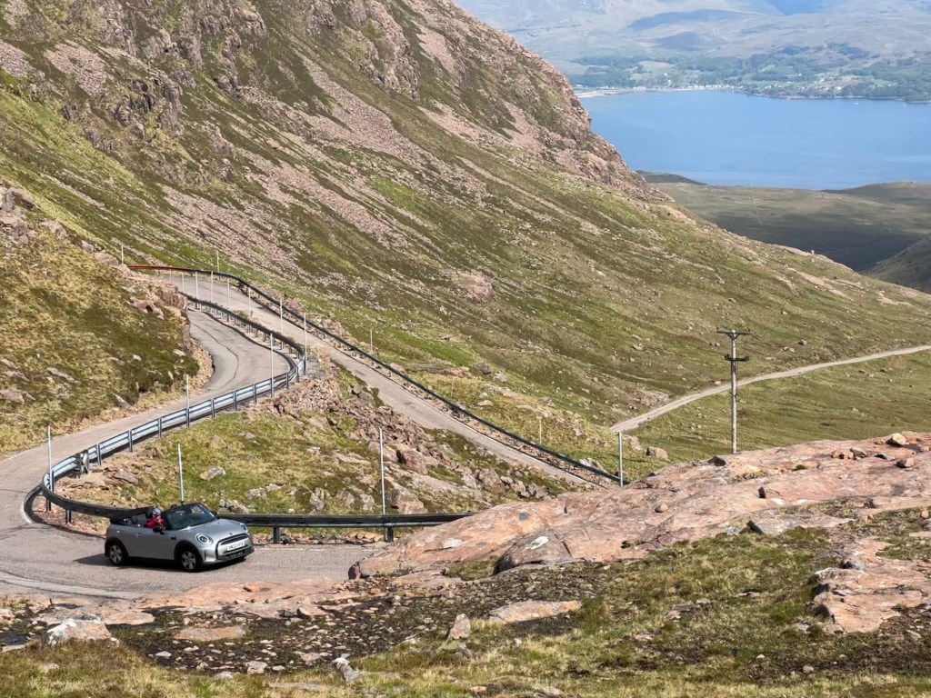
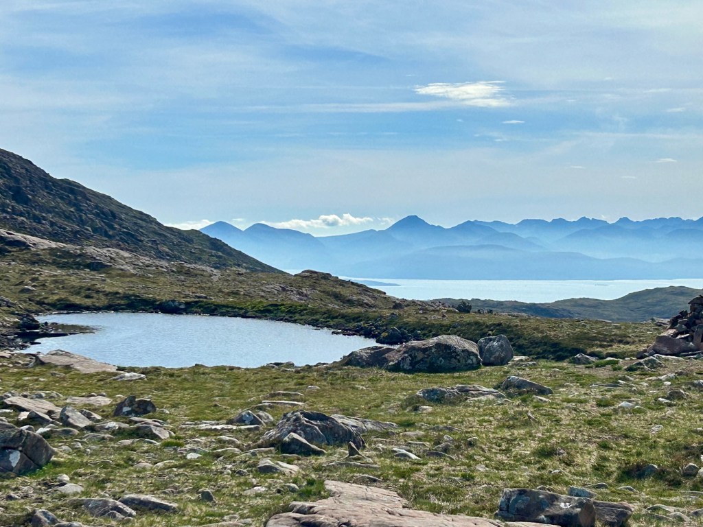
The return trip is via the Bealach na Ba pass which was covered in heavy cloud this morning. Wow. What a difference. The road is very thin, almost like riding on a ledge. Traffic going both ways requires deft use of the passing bays. The valley is bordered by huge rocks in height & width. We saw none of this going down. In review, this landscape was more impressive than what we saw at Skye & it was only 10 miles from our hotel.
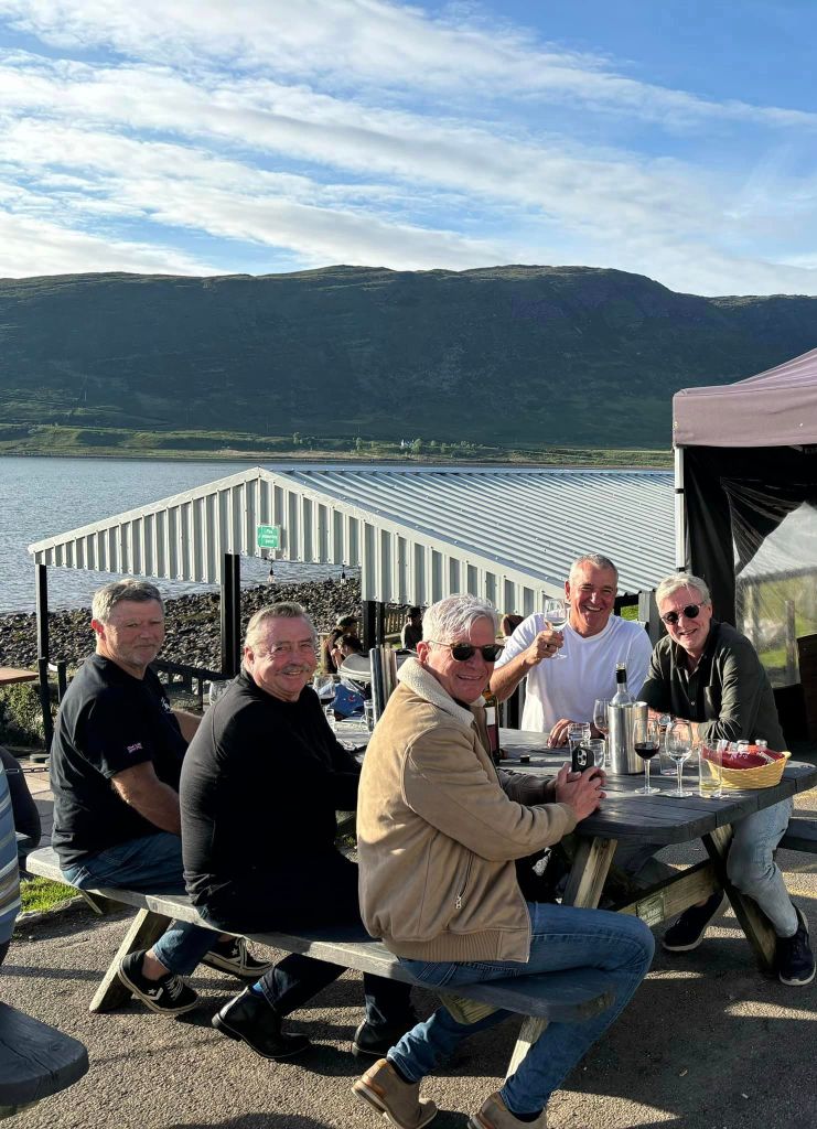
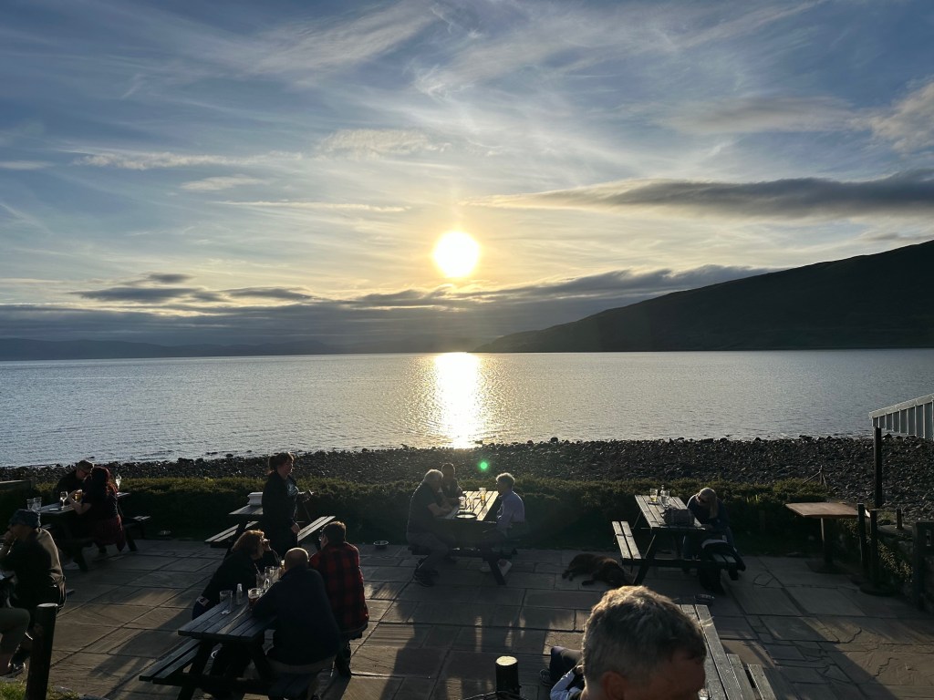
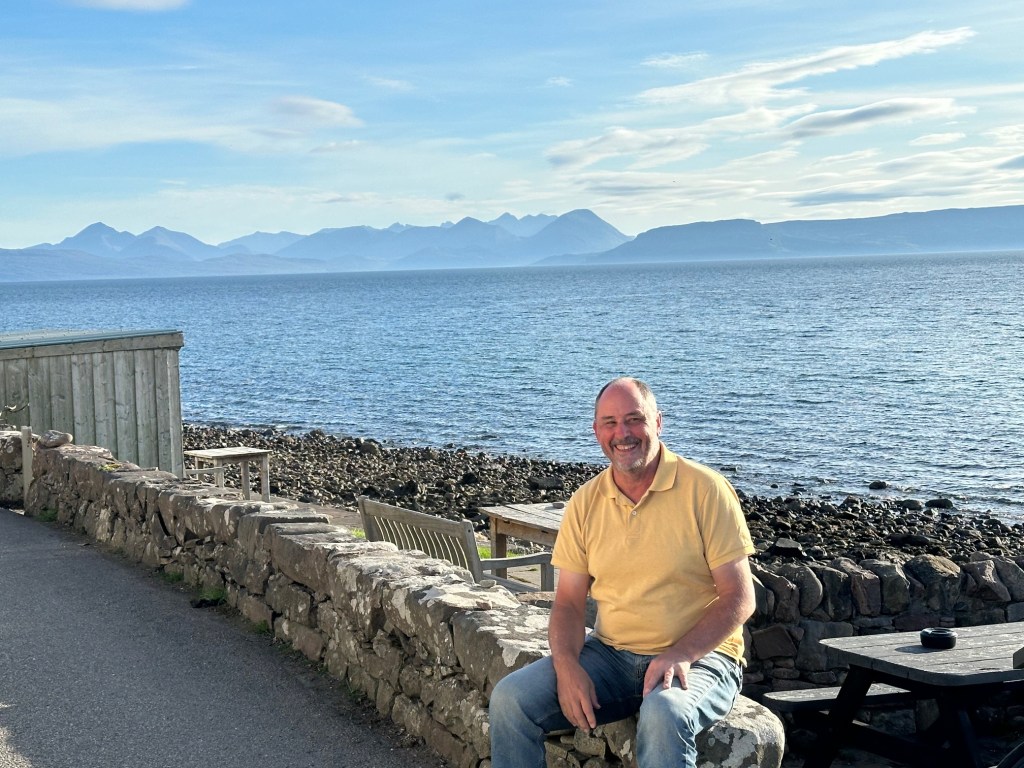
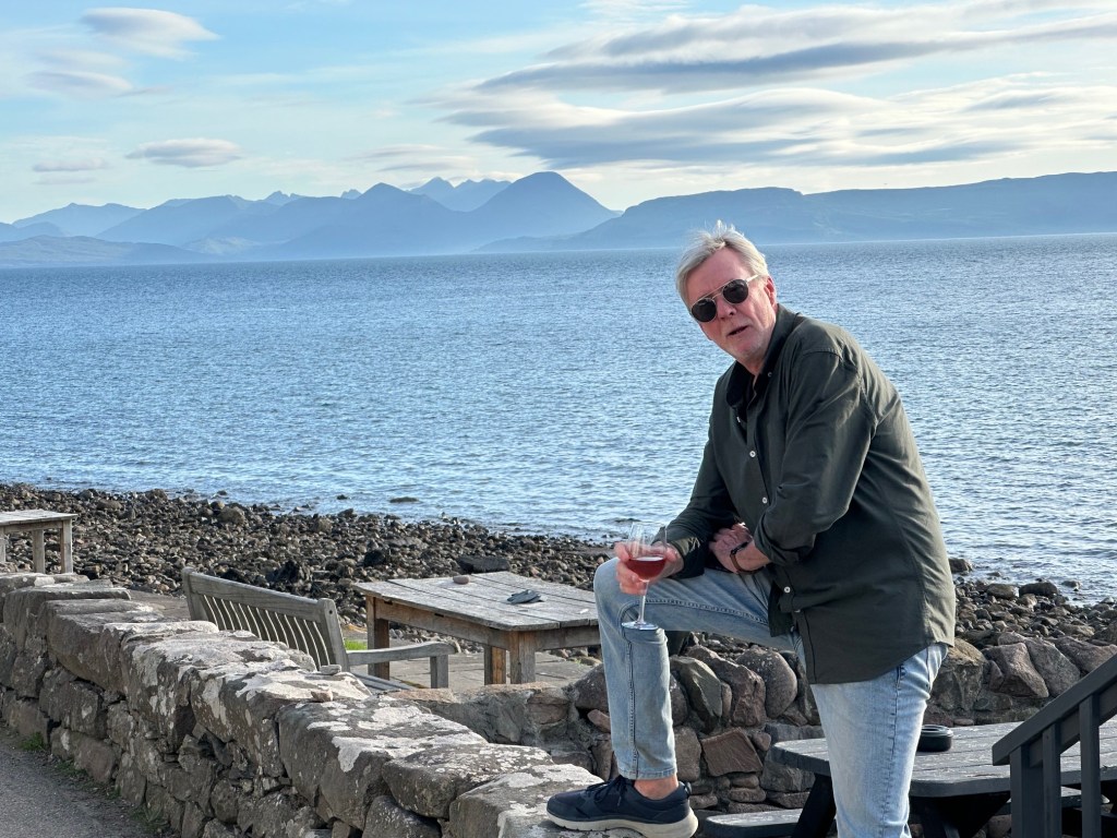
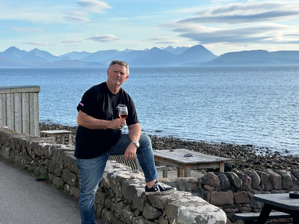
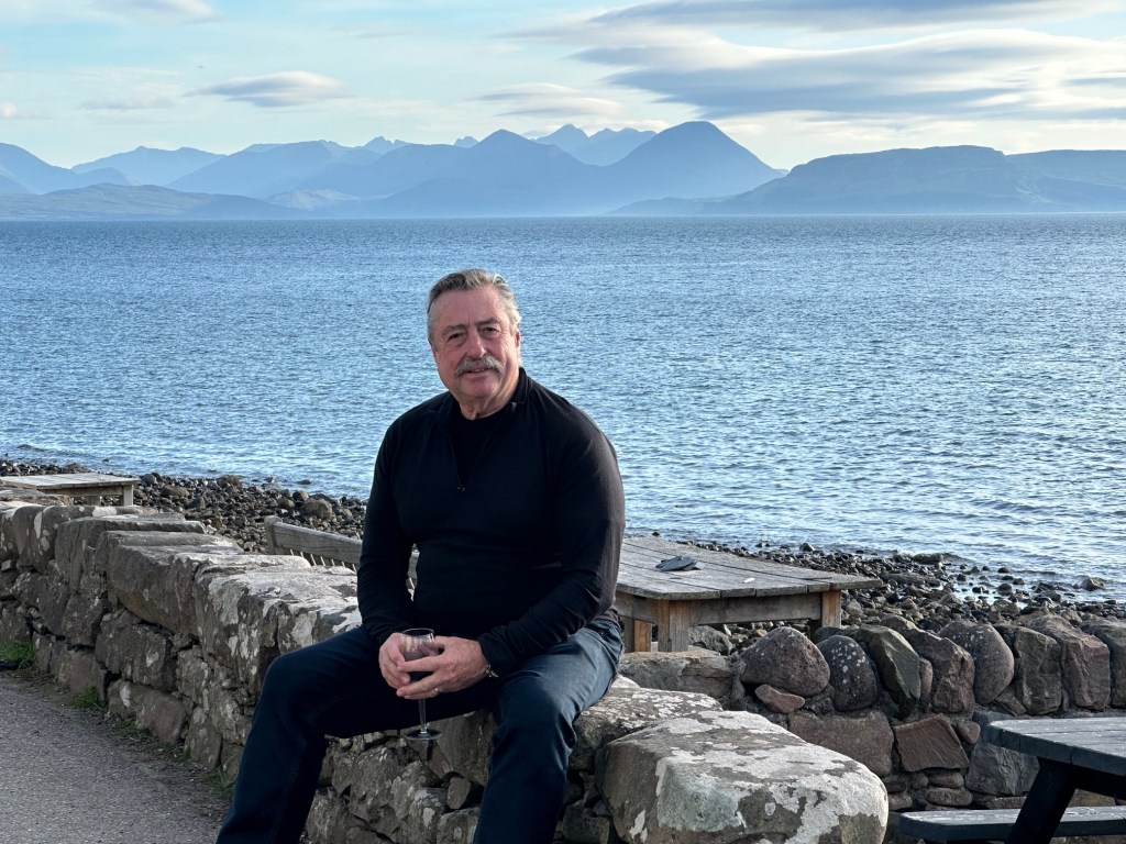
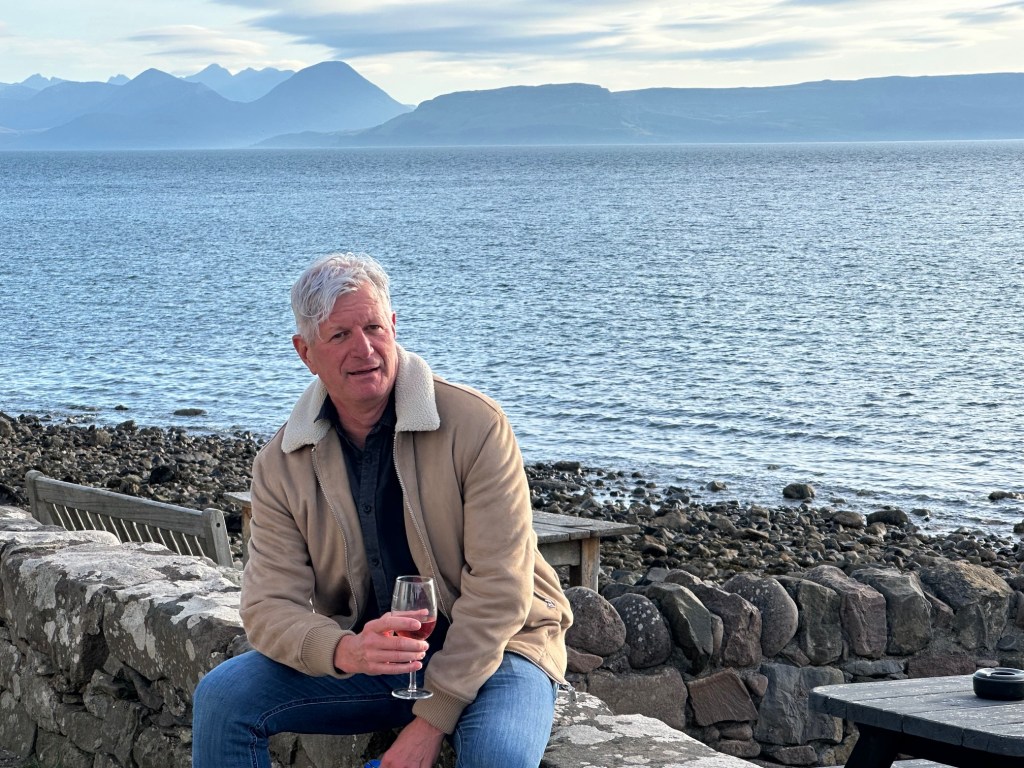
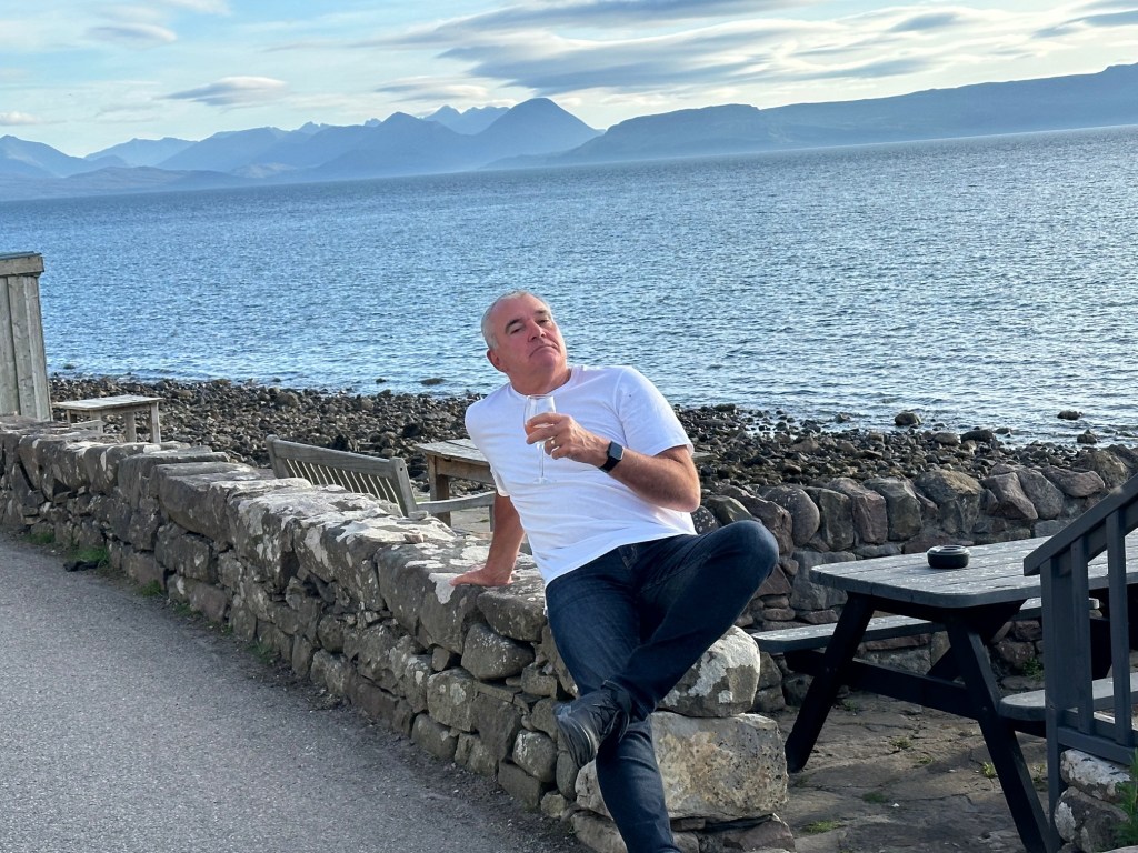
Back at the Applecross Inn, it’s drinks & dinner. Russ produces a myriad of musical productions for our wives. We are dining outside on a warm evening. When we left this morning, we never thought we’d be out here. Steve is discussing his nasal hair. He gets very lonely in the car on his own! We are blessed!
How good ? 9.5 today.
Applecross (Scottish Gaelic: A’ Chomraich [ə ˈxoməriç], ‘The Sanctuary’) is a peninsula north-west of Kyle of Lochalsh in Wester Ross, Scottish Highlands.[1] The name Applecross is at least 1,300 years old and is not used locally to refer to the 19th century village (which is correctly called ‘Shore Street’, or simply ‘The Street’) with the Applecross Inn, lying on the Applecross Bay, facing the Inner Sound, on the opposite side of which lies the Inner Hebridean island of Raasay. The monastery of Applecross was established by St Maelrubha, in the 7th century. A sculptured stone is the only remaining relic of Maelrubha, who built a chapel there.[2]
This row of houses which is often referred to as ‘Applecross’, and is marked as Applecross on some maps, is actually called ‘Shore Street’ and is referred to locally just as ‘The Street’. The name Applecross applies to all the settlements around the peninsula, including Toscaig, Culduie, Camusterrach, Sand, and many others. Applecross is also the name of the local estate and the civil parish, which includes Shieldaig and Torridon, and has a population of 544.[3] The small River Applecross (Scottish Gaelic: Abhainn Crosain) flows into the bay at Applecross.
Extremely isolated, Applecross was accessible only by boat until the early 20th century, and for many years after that the only road access was over one of Scotland’s most notoriously treacherous roads, the Bealach na Ba (‘Pass of the Cattle’), which crosses the peninsula and reaches a maximum height of 626 m (2,054 ft), below the 792 m (2,598 ft) high Sgùrr a’ Chaorachain. In 1975 the settlement was connected via a winding coastal road which travels around the edge of the peninsula to Shieldaig and Torridon. The road skirts the shore of the Inner Sound and Loch Torridon.